GEOTECHNICAL ENGINEERING
LEXINGTON
HomeInvestigationSPT (Standard Penetration Test)

Standard Penetration Test (SPT) in Lexington, Kentucky

Evidence-based design. Reliable delivery.

LEARN MORE

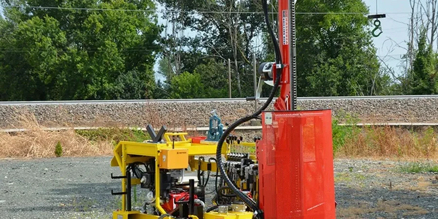
Lexington’s urban expansion onto the Inner Bluegrass region presents a specific geotechnical challenge: the Ordovician Lexington Limestone formation lies beneath a variable mantle of residual clay, often riddled with ancient sinkholes and pinnacled bedrock. A routine soil boring here is never truly routine. When we mobilize a CME-75 rig to a site off New Circle Road or near the Hamburg Pavilion, the Standard Penetration Test (SPT) becomes our first line of defense against karst surprises. The SPT, executed to ASTM D1586, lets us read the consistency of the stiff, fissured clay and detect the abrupt refusal that signals a limestone pinnacle or a void-weathered zone. Before laying out footings or designing a deep excavation shoring system, contractors need this direct measurement of soil resistance—blow counts that correlate to decades of regional performance data on the phosphatic, high-plasticity Maury and Lowell series soils.

In Lexington’s karst terrain, an SPT refusal at 8 feet can mean a solid limestone ledge or a thin roof over a mud-filled void—core recovery tells us which.

Our service areas

How we work

ASCE 7-22 and the 2021 IBC classify Lexington at Seismic Design Category B, but the site-specific response is dominated by soil profile, not bedrock motion. That is why our SPT procedure goes beyond counting blows. We log the split-spoon recovery ratio, note the moisture condition as we extract the sample, and immediately classify the cuttings using the USCS system per ASTM D2487 before the material dries and changes character. In the inner city, where fill has been placed over old streambeds of the Town Branch creek, the SPT data feeds directly into liquefaction screening and bearing capacity models. For a warehouse slab on grade in the Coldstream Research Campus, we often combine SPT data with a plate load test to validate modulus of subgrade reaction assumptions—the N-value alone cannot capture the rebound behavior of heavily overconsolidated clay. The split-barrel sampler also retrieves a disturbed sample that our lab uses for grain size distribution and Atterberg limits, closing the loop between field resistance and index properties.
Standard Penetration Test (SPT) in Lexington, Kentucky
Technical reference — Lexington

Local geotechnical context

The greatest geotechnical risk in Lexington is not soft clay but the dramatic spatial variability of bedrock depth. The Lexington Limestone surface can drop 20 feet over a horizontal distance of 30 feet, creating a “cut-and-fill” soil profile where competent rock sits adjacent to deeply weathered clay-filled depressions. An SPT program spaced at a uniform 50-foot grid can miss a pinnacle under one corner of a building, leading to severe differential settlement. We have logged SPT N-values jumping from 12 to refusal in a single 5-foot advance near the Kentucky River palisades, where ancient collapse structures fill with stiff but compressible residuum. Seasonal perched water in the clay above the bedrock also skews SPT results in spring: a saturated fat clay can show N=4 to 6, while the same material at its plastic limit in late summer reads N=12 to 15. Our reports flag these seasonal conditions explicitly, so the structural engineer does not misinterpret a low blow count as a permanent weak layer.

Need a geotechnical assessment?

Reply within 24h.

Email: contact@geotechnicalengineering.biz

Regulatory framework

ASTM D1586-18: Standard Test Method for Standard Penetration Test (SPT) and Split-Barrel Sampling of Soils, ASTM D2487-17: Standard Practice for Classification of Soils for Engineering Purposes (Unified Soil Classification System), ASTM D6066-11: Standard Practice for Determining the Normalized Penetration Resistance of Sands for Evaluation of Liquefaction Potential, ASCE 7-22: Minimum Design Loads and Associated Criteria for Buildings and Other Structures, 2021 International Building Code (IBC), Chapter 18: Soils and Foundations

Reference parameters

ParameterTypical value
Hammer TypeAutomatic trip, 140 lb, 30-inch drop per ASTM D1586
SamplerStandard 2-inch O.D. split spoon, 18-24 inch length
Borehole DiameterNQ (2.98 inch) to 6-inch hollow-stem auger
Seating Drive6 inches, blows logged separately
Test Drive12 inches in two 6-inch increments, N-value recorded
Sampling IntervalEvery 5 feet and at every stratum change
Energy CorrectionN60 calculated using measured hammer energy ratio when specified
Refusal Criterion50 blows per 6 inches or 100 total blows

Questions and answers

How deep do you typically advance an SPT boring in Lexington?

Depth depends on the proposed foundation type and the bedrock profile. For a typical commercial building on spread footings, we target 30 to 50 feet or 10 feet into competent rock, whichever is deeper. In known sinkhole areas near the Inner Bluegrass karst belt, we may extend borings to 80 feet to ensure we are not stopping on a floating boulder or a thin roof over a paleosink.

What does an SPT test cost in Lexington?

A standard SPT boring in Fayette County ranges from US$590 to US$860 per hole, depending on depth, access constraints, and whether rock coring is triggered upon refusal. Mobilization, traffic control on streets like Nicholasville Road, and laboratory index testing are priced separately. We provide a lump-sum proposal after reviewing the site plan and Kentucky Geological Survey karst maps for your parcel.

Do you apply energy corrections to the raw SPT N-values?

Yes. We report both the raw field N-value and the corrected N60. Our automatic trip hammers are calibrated with an instrumented rod system at least annually to measure the actual energy ratio. For liquefaction analysis in sandy lenses within the alluvium, we also apply overburden and fines content corrections per the Seed et al. (2003) update to the NCEER procedure, consistent with ASTM D6066.

How soon can you get a drilling crew to a site in Lexington?

Typical lead time is 7 to 10 business days after we receive the signed proposal and locate underground utilities via Kentucky 811. For urgent projects—like a foundation distress investigation near the Distillery District—we can often mobilize within 48 hours. The final geotechnical report with boring logs, N60 profiles, and foundation recommendations is delivered 10 to 14 business days after the field work concludes.

Location and service area

We serve projects in Lexington and surrounding areas.

View larger map