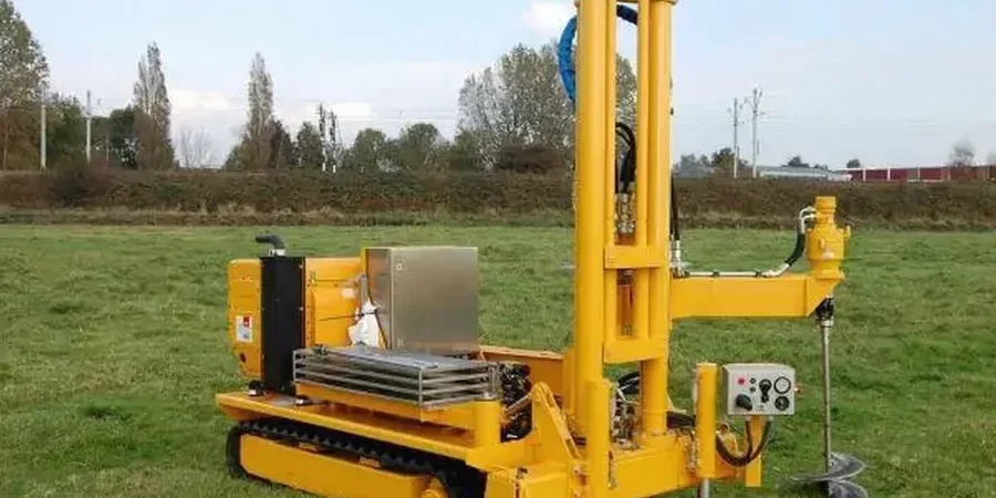
Lexington sits squarely on the Inner Bluegrass region, where the subsurface is anything but uniform. The famous karst topography means weathered limestone and pockets of residual clay can shift dramatically across a single parcel. A standard borehole program might miss those transitions, but a CPT test captures the continuous profile that's essential here. Our cone penetration testing rigs push through the stiff Maury silt loam down into the Ordovician limestone residuum, recording tip resistance, sleeve friction, and pore pressure every two centimeters. This density of data lets our engineers spot solution cavities, evaluate consolidation potential in the clay seams, and establish bearing strata without the sample disturbance that plagues split-spoon methods in these sensitive soils.
In Lexington's karst terrain, CPT provides the only continuous record of rockhead topography, revealing pinnacles and solution features that boreholes spaced 20 feet apart can completely miss.